August Library Jewel #1: 1784 chart of Northwest coast
(Image courtesy of Washington State Library)
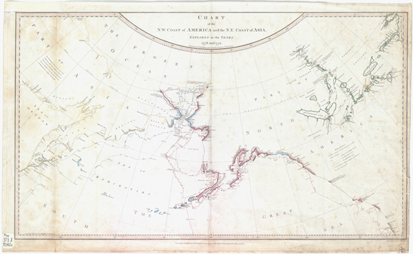
The State Library is a definite go-to place for historical and rare maps of Washington and the Pacific Northwest. Check out this 1784 chart showing the Northwest coast of North America and the Northeast coast of Asia after both coasts were explored in 1778 and 1779 by Captain James Cook. The chart, prepared by Lt. Henry Roberts, was the product of Cook’s third and final voyage of the Pacific. Cook did not survive this final voyage as he and other crew members were killed by Hawaiians along the coast of the Big Island on Feb. 14, 1779.
The chart is the first Library Jewel for August. More to come this week.