Washington State Library Digital Collections – Historical Maps
From the desk of Jeff Martin
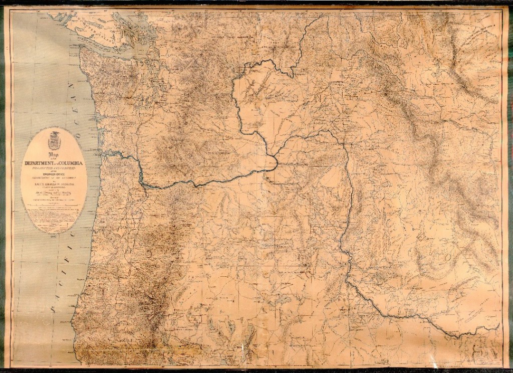
The State Archives and the State Library hold extensive map collections dealing with the Washington State and the surrounding region. This new blog post shows two more examples. The first map shows military stations occupied and abandoned as of January 1881; railroads existing and projected; wagon roads, and lighthouses. The map has been reduced in size for presentation.
|
||||
|
||||
|
||||
| Note | Electronic data.Relief shown by hachures. Includes list of sources consulted in compilation. Shows military stations occupied and abandoned as of January 1881; railroads existing and projected; wagon roads, and lighthouses. “Brevet Brig. Gen. Frank Wheaton, commanding Department.” “Prepared and published under the direction of Brig. Gen. H.G. Wright, Chief of Engineers, U.S. Army.” |
|||
|
|||
|
|||
|
|||
| Description | 1 map. | ||
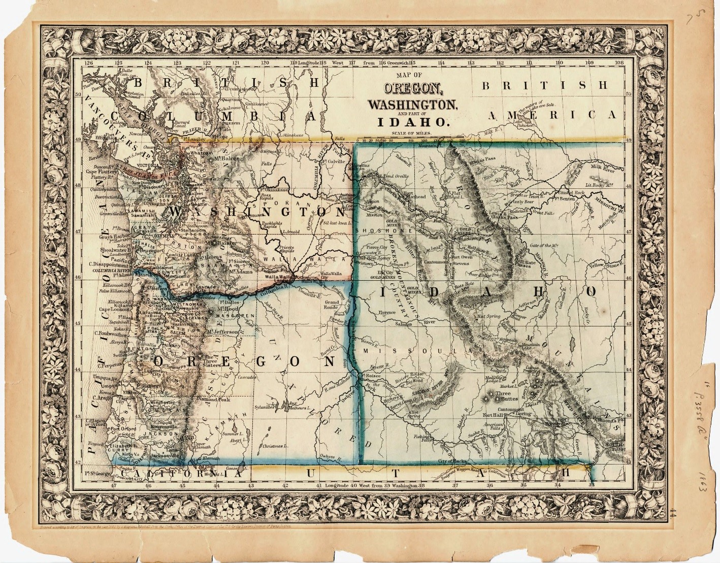
| Note | Relief shown by hachures. “Entered according to Act of Congress, in the year 1860 by S. Augustus Mitchell, Jr. in the Clerks Office of the District Court of the U.S. for the Eastern District of Pennsylvania.” Prime meridians: Washington and Greenwich. In right margin: 44. |
||