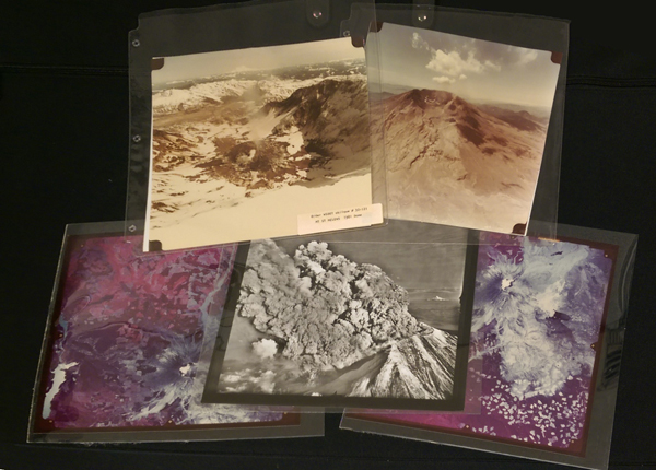
May Library Jewel #1: Spectacular photos of St. Helens eruption
(Photo courtesy of Washington State Library)
Days after documents related to the unforgettable 1980 Mount St. Helens eruption topped this month’s Archives Treasures online poll, we’re kicking off the May edition of State Library Jewels with a collection of aerial photos of the world-famous mountain during and after it literally blew its top and knocked down or buried 230 square miles of forest beneath volcanic deposits. The eruption killed 57 people.
The aerial and satellite shots of the mountain were taken by the state Department of Transportation and U.S. Department of Interior/Geological Survey. The collection features about 40 slides of the eruption.
The photos are in affiliation with the National Cartographic Information Center, which is part of the U.S. Department of Interior.
